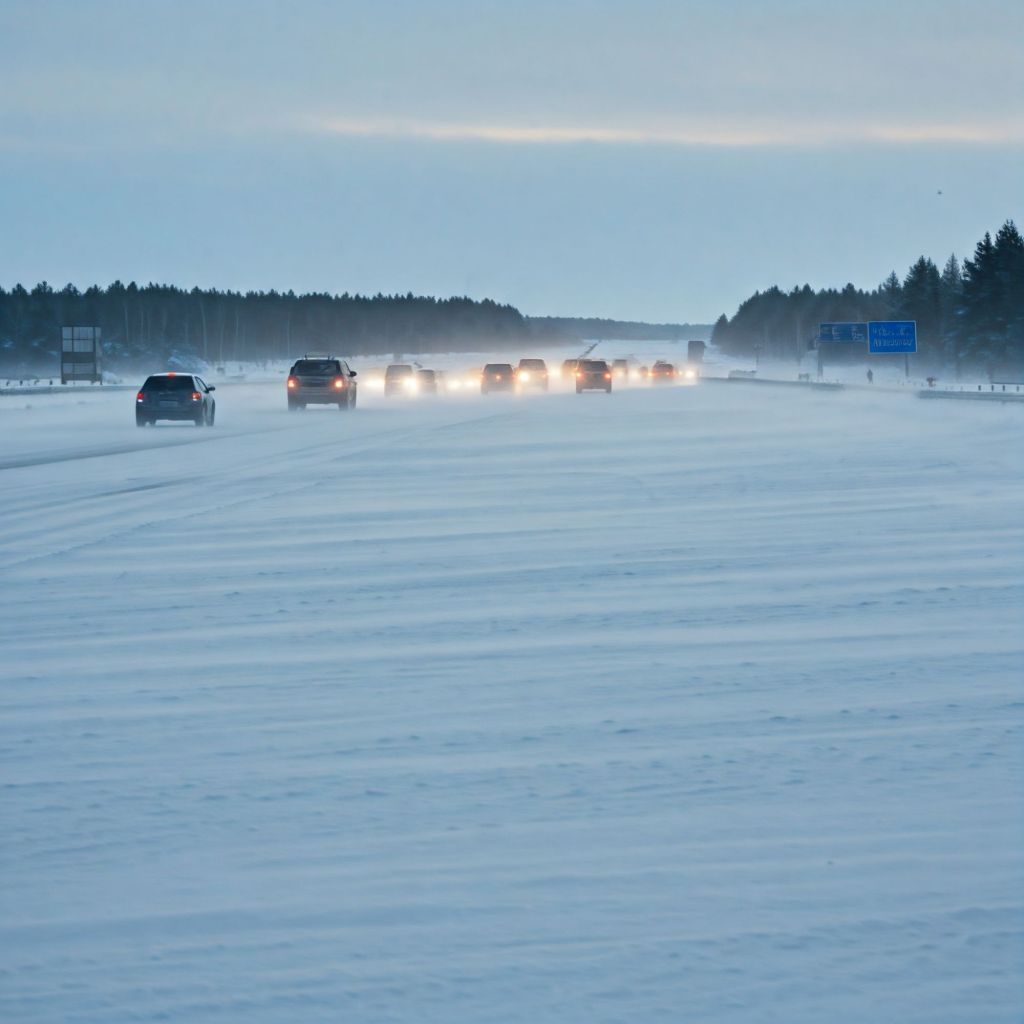
Wet weather November 15th 2025
Stay safe

When melt comes
Melt
* Melt (Freshet): The spring melt, or “freshet,” is the critical period. It typically begins in late April or early May at lower elevations and continues into June at higher elevations. The timing and speed of this melt are the most important factors in determining whether the region will face drought or flood.
Water Reserves and Freshet
The snowpack serves as a natural reservoir, holding a significant portion of the region’s water supply for the spring and summer.
* Slower, Steady Melt: This is the ideal scenario. When temperatures rise gradually and steadily, the snowpack melts at a manageable rate, slowly replenishing rivers, lakes, and groundwater. This process ensures a consistent water supply for agriculture, municipal use, and maintaining healthy ecosystems throughout the drier summer months.
* Rapid Melt:
This is a recipe for trouble. A sudden and prolonged period of hot weather, especially following a large snowpack, can cause the snow to melt too quickly. This rapid influx of water can overwhelm river systems, leading to high stream flows and a significant risk of flooding.
The Duality of Snowpack: Flood vs. Drought
The relationship between snowpack and water management is a delicate balance.
* Risk of Flooding: A deep or above-normal snowpack (e.g., above 120% of normal) significantly increases the risk of flooding, particularly if a period of prolonged hot weather or heavy rainfall occurs during the freshet. This is when the rivers, like the Thompson, can exceed their banks. The B.C. River Forecast Centre issues a series of advisories—High Streamflow Advisory, Flood Watch, and Flood Warning—to communicate the escalating risk.
* Risk of Drought:
A low or below-normal snowpack (e.g., below 80% of normal) is a major concern for summer drought conditions. If the winter was dry and the snowpack is thin, there simply isn’t enough stored water to last through the hot summer. The early melt that often accompanies a low snowpack means that water reserves are depleted much sooner, leaving the region susceptible to water shortages, low river levels, and an elevated risk of wildfires.
Modern Challenges
Climate change is making the snowpack cycle more volatile and unpredictable. The Thompson-Nicola region has seen both record-low and near-normal snowpacks in recent years, each with its own set of challenges. Increasingly, “not a typical freshet” has become the norm, with warmer springs causing early snowmelt and leaving less water for the later summer. This is why the BC River Forecast Centre’s regular bulletins are so critical for residents, local governments, and industries like agriculture that rely on a predictable water supply. The data from automated snow weather stations and manual surveys provides the information needed to prepare for either potential flooding or the very real possibility of a severe summer drought.

Best guess
The Thompson-Nicola region of British Columbia’s South Central Interior is a fascinating case study in the relationship between snowpack, water reserves, and the potential for both drought and flooding. The entire system is driven by a seasonal cycle that, while predictable in its general pattern, is highly susceptible to year-to-year and even week-to-week weather variations.
The Snowpack Cycle
* Accumulation (Winter): Snowpack begins to accumulate in the mountains of the Thompson-Nicola region with the onset of winter. This period, from roughly November to April, is when the majority of the annual snowpack builds up. By early January, about half of the total annual snowpack has typically accumulated. The amount of snow in any given year is highly variable, and this is the first and most crucial factor in determining the water situation for the rest of the year.
* Peak (Late Spring): The snowpack generally reaches its maximum level around mid-April. At this point, the snow water equivalent (SWE) is measured by the BC River Forecast Centre to gauge the total amount of water stored in the snow. A “normal” snowpack is considered to be between 90% and 110% of the historical average.