Contributed:
A fascinating, foundational piece of how resource management and public science work. The short answer is **yes, absolutely**—a vast amount of geophysical data and mineral exploration information eventually makes its way into government hands and becomes a public resource.The mechanism behind how private exploration data becomes a public asset comes down to a mix of legal mandates, tax structures, and industry regulations.Here is exactly how that data lifecycle works:
## 1. The “Assessment Work” Mandate
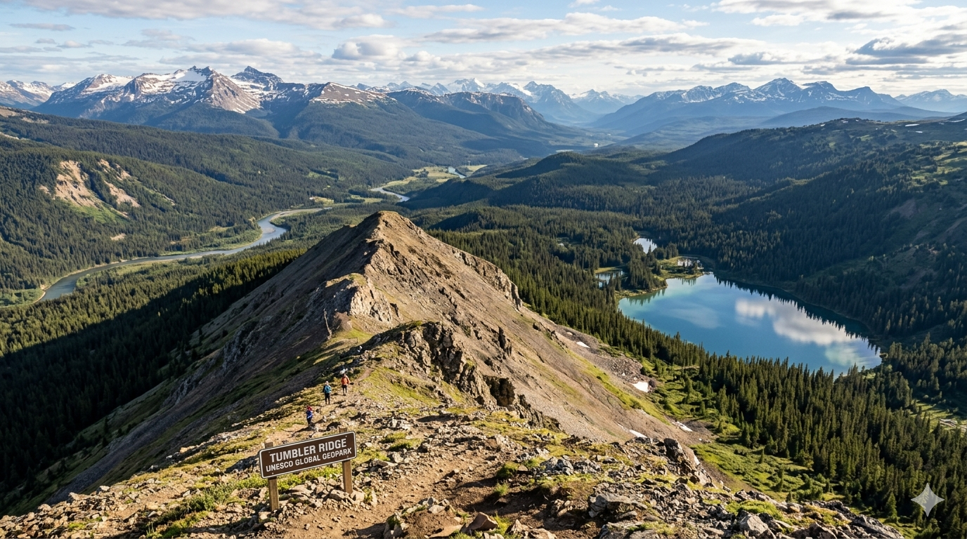
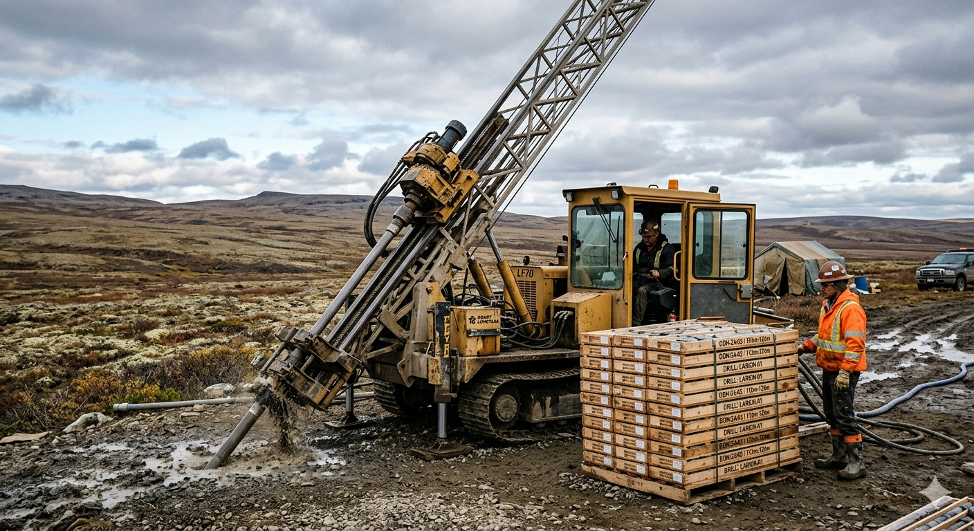
In Canada, subsurface mineral rights are largely owned by the Crown (managed by provincial and territorial governments). When a mining or exploration company stakes a mineral claim, they don’t own the land outright; they hold the exclusive right to explore it.To keep that claim valid year after year, the company must prove they are actually doing work. They do this by submitting detailed technical reports to the provincial government (such as the Ministry of Energy, Mines and Low Carbon Innovation in BC). These are called **Assessment Reports**. * **What’s included:** Raw geophysical survey data (airborne magnetics, radiometrics, gravity), geochemical sampling results, geological maps, and drill hole logs.
* **The Confidentiality Buffer:**
To protect the company’s competitive edge while they spend money on the ground, the government keeps this data confidential for a limited time (typically 1 to 3 years, depending on the jurisdiction). * **The Public Release:** Once that confidentiality window expires, the government publishes the reports. Anyone—from a competitor to an academic researcher—can access them for free.## 2. Public Repositories & Geoscience ToolsOnce the data is released, provincial and federal geological surveys compile, standardize, and map it.
* **Geoscience Data Repositories:**
Federal bodies like the **Geological Survey of Canada (GSC)** maintain vast databases like the *Geoscience Data Repository for Geophysical Data*, which holds data from over 1,100 major surveys.
* **Digital Core Libraries:**
Governments even step in to preserve physical data. For instance, initiatives like the **Canadian Digital Core Library** are actively digitizing and scanning millions of meters of physical drill cores stored in government warehouses so the data can be analyzed using advanced computing and AI.## 3. Stock Exchange Disclosures (NI 43-101)Information also enters the public domain through financial regulations. Publicly traded exploration companies must comply with strict disclosure rules, such as
**National Instrument 43-101 (NI 43-101)**.
When a company makes a discovery, finds promising geophysical anomalies, or updates its resource estimates, it is legally required to file a comprehensive technical report on **SEDAR+**. These reports are completely public and contain heavy technical and geophysical data to ensure investors aren’t being misled.
### The Big Picture Strategy
This system creates a continuous loop. The government uses the data handed over by mining companies to update its regional geological maps. They then provide these highly detailed, large-scale baseline maps *back* to the public for free.This de-risks early-stage exploration, ensuring that a company doesn’t spend millions re-flying a geophysical survey over ground that was already thoroughly mapped decades prior. It turns private commercial data into a permanent national scientific archive.