You are presumed to be honest and responsible without evidence to the contrary beyond a reasonable doubt… on the balance of probablilties you are justified by 51 % likelyhood.
Flash flooding in British Columbia is driven primarily by intense meteorological conditions combined with steep, mountainous terrain. Because much of B.C.’s topography consists of deep valleys and narrow drainage basins, intense rainfall cannot be absorbed quickly enough, forcing massive volumes of water, mud, and debris down slopes in minutes.Flash Flooding Dynamics in B.C.
* Atmospheric Rivers & Rain-on-Snow Events:
In late autumn and winter, strong “atmospheric rivers” (narrow plumes of dense moisture from the tropics) dump immense rainfall over low elevations while warm winds rapidly melt mountain snowpacks. This rapid runoff overwhelms natural channels and culverts. * The Freshet Season: In late spring (May through June), sudden heatwaves accelerate high-elevation snowmelt. When paired with sudden summer thunderstorms, rivers can overtop their banks or flash flood localized gullies within hours.
* Post-Wildfire Debris Flows:
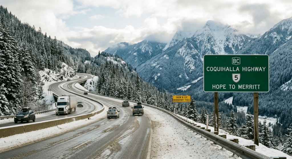
Scorched soil left behind after forest fires loses its ability to absorb water (becoming hydrophobic). A sudden localized cloudburst over a burnt mountain slope frequently triggers violent flash floods mixed with mud and logs, blocking highways and washing out bridges.National Fatality Statistics & High-Risk AreasHistorically, flood-related fatalities across Canada are low compared to other natural hazards due to early warning networks and widespread evacuations. * Fatality Statistics: Over the past century, direct deaths caused specifically by flash flooding and inland water surges across Canada total roughly 150 to 200 people. Most individual flash flood events result in low single-digit fatalities (typically 1 to 5 deaths per event), almost always caused by vehicles being swept off inundated roads or washouts collapsing beneath motorists. * Most Prone Regions: * Southern B.C. Coastal & Mountain Passes: Steep canyon corridors (such as the Fraser Canyon, Coquihalla, and Sea-to-Sky corridor) are highly vulnerable to localized, rapid debris flows and mountain river surges. * Southern Ontario River Valleys: Built-up urban areas around steep river valleys (such as the Humber, Don, and Grand Rivers) experience severe flash flooding when intense summer storms or tropical remnants hit saturated soil. * Southern Alberta Foothills: Fast-flowing mountain rivers (like the Bow and Elbow Rivers) coming out of the Rockies are prone to sudden, severe surge flooding during heavy late-spring rains.
The Largest & Deadliest Flash Flood in Canadian History
The single largest and deadliest flash flood event recorded in Canada was caused by Hurricane Hazel on October 15–16, 1954. * Location: Southern Ontario (primarily Toronto and surrounding river valleys). * Death Toll: 81 people died. Over half of the victims (35 people) were killed on a single street—Raymore Drive in Weston—when the Humber River suddenly rose over 6 meters and washed away entire blocks of homes. * Estimated Size & Volume: * Prior to the storm, the ground was already saturated from weeks of rain. Hazel dropped over 200 mm (nearly 8 inches) of rain in less than 24 hours, with up to 110 mm falling in just a 12-hour window. * Over 90% of that rain ran off directly into local rivers, causing water levels in the Humber River and Etobicoke Creek to rise by as much as 6 to 8 meters (20 to 26 feet) in a matter of hours. * The total economic damage was estimated at over $137 million in 1954 CAD (equivalent to roughly $1.6 billion today) and left more than 4,000 families homeless.The sheer scale of destruction from Hurricane Hazel completely revolutionized floodplain management in Canada, leading directly to the creation of strict conservation authority limits that prohibit residential construction within natural floodplains.
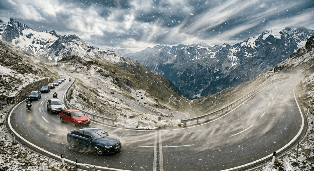
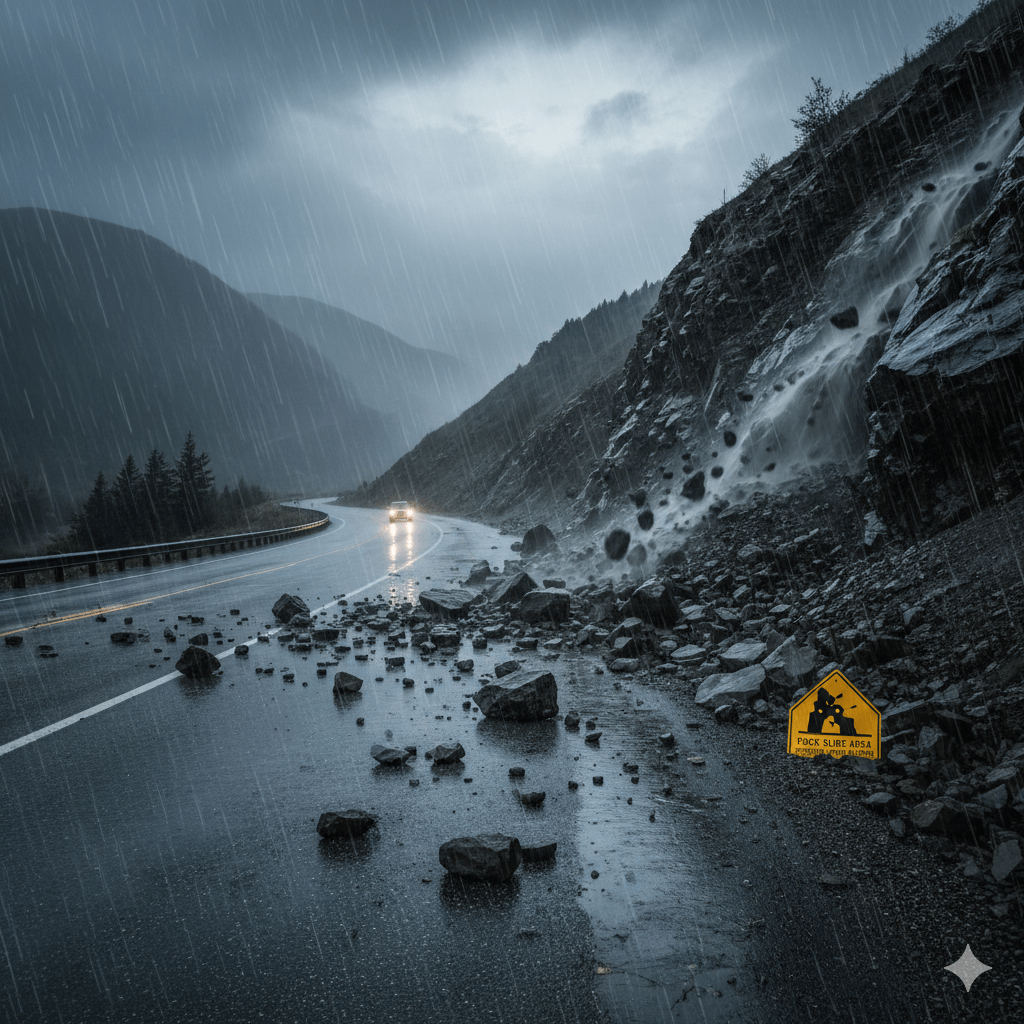
One takeaway from this discourse should be and will be an awareness to watch side hills after even moderate rains when you’re driving on some of the particularly close road works as opposed to freeways. However, the unexpected is just that something that you can overcome if you expect to?.
Context: National day of morning for injured and killed in accidents.
Pedestrian deaths in Canada.
On This day of morning,we consider those lost in pedestrian 🚸 actions. On average 300. Pur anum
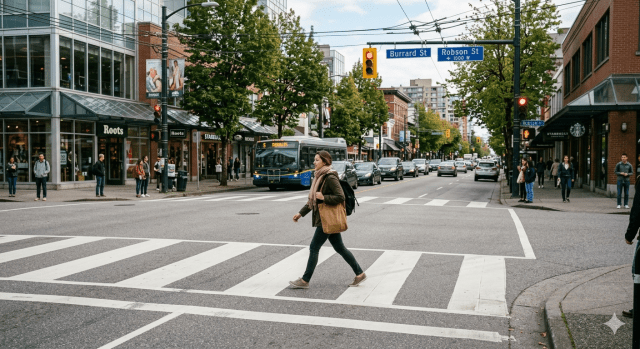
Welcome, and thank you for seeking clarification on safe street crossing practices and the crucial (and often misunderstood) bylaw regarding a pedestrian’s lack of right of way. Crossing the street safely is a fundamental life skill that, when performed correctly, ensures the smooth flow of traffic and, most importantly, protects you from harm.Let’s dive into the specifics, starting with the bylaws and then expanding on the physical act of crossing.###
Part 1: Deciphering the Right of Way Bylaw
The concept of ‘right of way’ is the cornerstone of traffic safety, but its application can be nuanced. Many municipalities have specific bylaws regarding where and when pedestrians *lose* their right of way. It’s important to research the exact laws of your city or region, as terminology (like “jaywalking”) varies, but here is a detailed, general overview of the critical distinction:####
The General Rule
Generally speaking, when you are in a **designated crosswalk** (whether marked with white lines or unmarked at a T-intersection, 3-way, or 4-way intersection), and **traffic is required to stop for you,** you have the right of way once you have stepped into that crossing.####
The “Between Intersections” Bylaw
(Where You Do Not Have Right of Way)This is the rule that often trips people up and can lead to dangerous situations and tickets.**The core concept is this: In most urban and suburban areas, pedestrians are prohibited from crossing a street anywhere *between* intersections, and if they do so, they must yield to all vehicular traffic.**Think of it this way:
* **Intersection to Intersection:**
This is the segment of road between two legal crossing points. * **The No-Go Zone:** This entire middle section is where vehicles are travelling and generally do not expect pedestrians to be crossing.**Why does this bylaw exist?**This bylaw isn’t meant to make your walk inconvenient; it’s about predictability.
1. **Driver Expectations:**
Drivers are trained to look for pedestrians at intersections and crosswalks. They are *not* expecting someone to step out from behind a parked car or dart across the middle of the road.
2. **Speed:**
Vehicles are often travelling at higher, consistent speeds between intersections. This reduces their stopping distance and significantly increases the severity of an impact.
3. **Visibility:**
Parked cars, delivery trucks, and even trees can obstruct a driver’s view of someone trying to cross mid-block.**The Implications for You** * **NO RIGHT OF WAY:** When you cross between intersections, **all traffic has the absolute right of way.** This means vehicles are *not required to stop* for you, and it is your responsibility to ensure the way is completely clear. * **Liability:** If you cross mid-block, fail to yield, and get hit by a vehicle, you are likely to be found at fault (or partially at fault) for the accident, which has massive legal, medical, and financial consequences. * **Tickets:** In many places, “crossing where prohibited” is a fineable traffic offense.
### Part 2:
How to Safely Cross the Street
Now that we understand the legal landscape, let’s explore the physical, step-by-step process of safely crossing a street. These steps apply whether you are at a marked crosswalk or an intersection, but they are absolutely non-negotiable if you are forced (or choose, despite the rules) to cross elsewhere.####
1. Preparation and Location *
**Always Cross at Corners or Crosswalks:** This is the gold standard. Use a marked crosswalk (with the white ‘Zebra stripes’) or a legal, unmarked intersection crossing. Look for intersections with traffic lights or “Pedestrian Crossing” signs. * **Utilize Crosswalk Buttons:** If the crosswalk has a button (actuator), PRESS IT. This triggers the signal cycle to include your crossing time and alerts drivers that a pedestrian is waiting.####
2. The Golden Rule:
Stop, Look, and Listen
This isn’t just for children; it is the single most important safety protocol. * **STOP at the Curb (Not in the Road):** Always come to a complete stop on the sidewalk or shoulder before entering the roadway. Do not wait with one foot already on the asphalt. * **LOOK Both Ways (Repeatedly):** Look left, then right, then left *again* before you even consider stepping out. Why “left again”? Because in countries that drive on the right side of the road (like Canada), the traffic closest to you is coming from your left. A lot can change in the 3 seconds it takes to look right. * **LOOK for Turning Vehicles:** Don’t just look straight down the street. Check all corners of the intersection for cars making right or left turns. Many pedestrian incidents occur when a vehicle turns into a crossing pedestrian because the driver was focused on other cars and not people.
* **LISTEN:**
Traffic noise can sometimes give you warnings before you see a car. Electric vehicles are quiet, so this is especially important now. Turn down any loud music and remove earbuds if you need to be acutely aware of your surroundings.####
3. Establish Eye Contact
This is your safety confirmation. * **Do Not Assume a Driver Sees You:** Even if a car is slowing down, or even if it has stopped, do not assume they know you are there. * **Look at the Driver:** Look for the driver’s eyes. Wave at them or give a nod. Wait for them to acknowledge you—either by a wave, a nod, or a clear, complete stop. * **Only Proceed After Confirmation:** If you cannot make eye contact (e.g., heavily tinted windows), proceed with extreme caution, or, better yet, wait for another car.####
4. The Crossing
* **Walk, Do Not Run:** Crossing is not a sprint. Step out deliberately and walk at a steady pace. Running increases your risk of tripping, and it’s actually harder for a driver to track a fast-moving object. * **Walk straight across, not diagonally.
** * **Maintain Awareness:**
Continue to look left and right as you cross, specifically scanning the traffic that is approaching you in each lane you are entering. Be especially cautious of the “second lane” threat—when one car in the closest lane stops for you, a second car in the adjacent lane might not be able to see you and might pass without stopping.###
Part 3: Crossing without Causing Difficulty for Others
The hallmark of a safe pedestrian is being respectful and predictable. This minimizes risk and avoids creating hazardous situations for drivers and other road users.
#### How to Be “Difficulty-Free” * **Be Predictable:**
Follow the steps above. When you walk, do so deliberately. When you stop, stop completely on the curb. Drivers panic when they cannot predict your next move. * **Cross When the Coast is Clear (If Necessary):** If you are at an unmarked crossing and cars are coming, wait. It is much better (and more “difficulty-free”) for you to wait 30 seconds for a gap in traffic than it is to step out and force five cars to slam on their brakes. * **Be Visible:** This is crucial, especially in poor weather or at night. * *
*Nighttime:**
Wear bright clothing or something with reflective strips. Carrying a small flashlight or turning on your phone’s flashlight can significantly improve a driver’s ability to see you. * **Wet Weather:** Rain and wet pavement significantly increase a vehicle’s stopping distance. Be extra patient and cautious. Don’t assume a driver *can* stop quickly.
* **Put the Distractions Away:**
This is non-negotiable. Texting, looking at maps, browsing social media, or talking animatedly on the phone while crossing are incredibly dangerous activities. They significantly reduce your reaction time and your ability to “Stop, Look, and Listen.” Your complete focus must be on the road.
* **Don’t Step into a Vehicle’s Path:**
This is the essence of yielding right of way. If you see a vehicle coming and you can’t be sure you can cross *well ahead* of it (especially if it has the legal right of way between intersections), DO NOT Cross. A vehicle cannot stop on a dime.
**Conclusion:**
Safe street crossing is not complicated, but it does require mindfulness, patience, and a clear understanding of traffic laws. By prioritizing crossing at intersections, knowing that you lose your right of way when crossing between intersections, and consistently applying the
“Stop, Look, and Listen”
protocol, you ensure your own safety and contribute to a more efficient and harmonized traffic flow for everyone. Your walk will be safer, less stressful, and completely “difficulty-free.”
Disclaimer: this is not legal or professional advice.
We have reviewed this from a non expert view. And would add that you should govern yourself accordingly. Rely on the rules of the road that got you your driver’s license.
Including discernment that would involve participants that don’t have that capacity whether young or old.
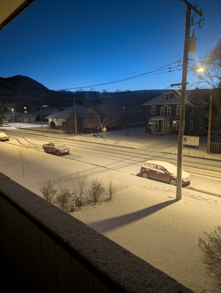
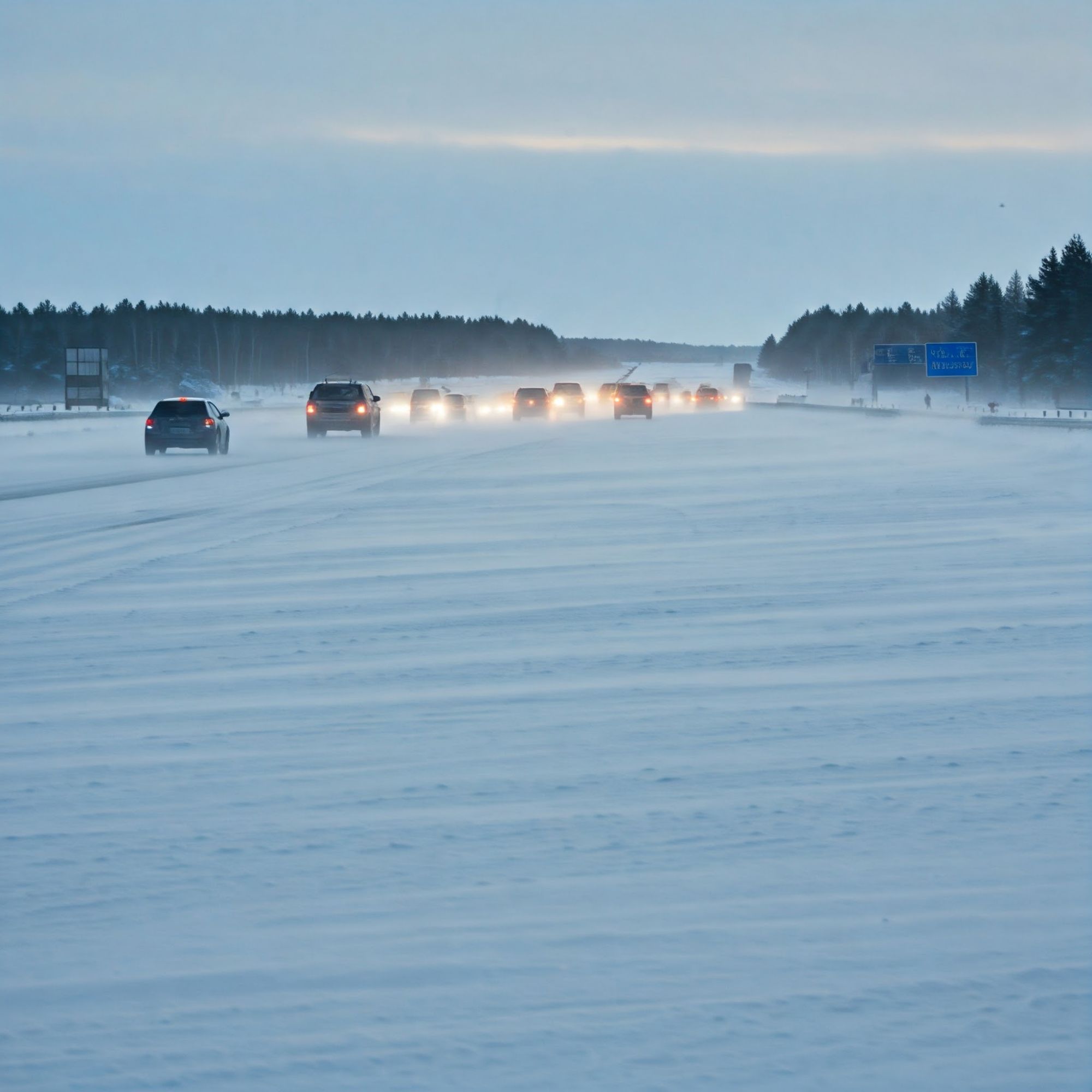
This morning we woke up to a snow warning from environment Canada for Merritt to Hope. The color-coded yellow warning can be found on their page above.
The City of Merritt in the South Central Interior of British Columbia. Put up their street lights on and about the town and the Christmas tree is going up In Spirit square, center to the cultural and reflective hub off Granite Ave. There are pragmatic benefits to this endeavor in our view…
Photo:KDG
Seasonal affective disorder.
Well this is not a clinical diagnosis, we observed that this condition is out there and would say from a non-professional point of view then it must help with the people that suffer from it. So let your joy come from you but enjoy every little bit helps hey…
You can check the video cams or the live cams for real time evaluation of your trips and we suggest that you open up an account. You can have it with a basic bceid number and that will give you access to road conditions.
We however, encourage that you use us in our comments for any difficulties or advice or stories that you might like to share with your driving experience in British Columbia.








 Kevin Griffiths
 percypaschal
