Category: Vegtable soup


Farm gate…

Social interaction as well.

British Columbia

Farmers’ Markets in British Columbia and Canada
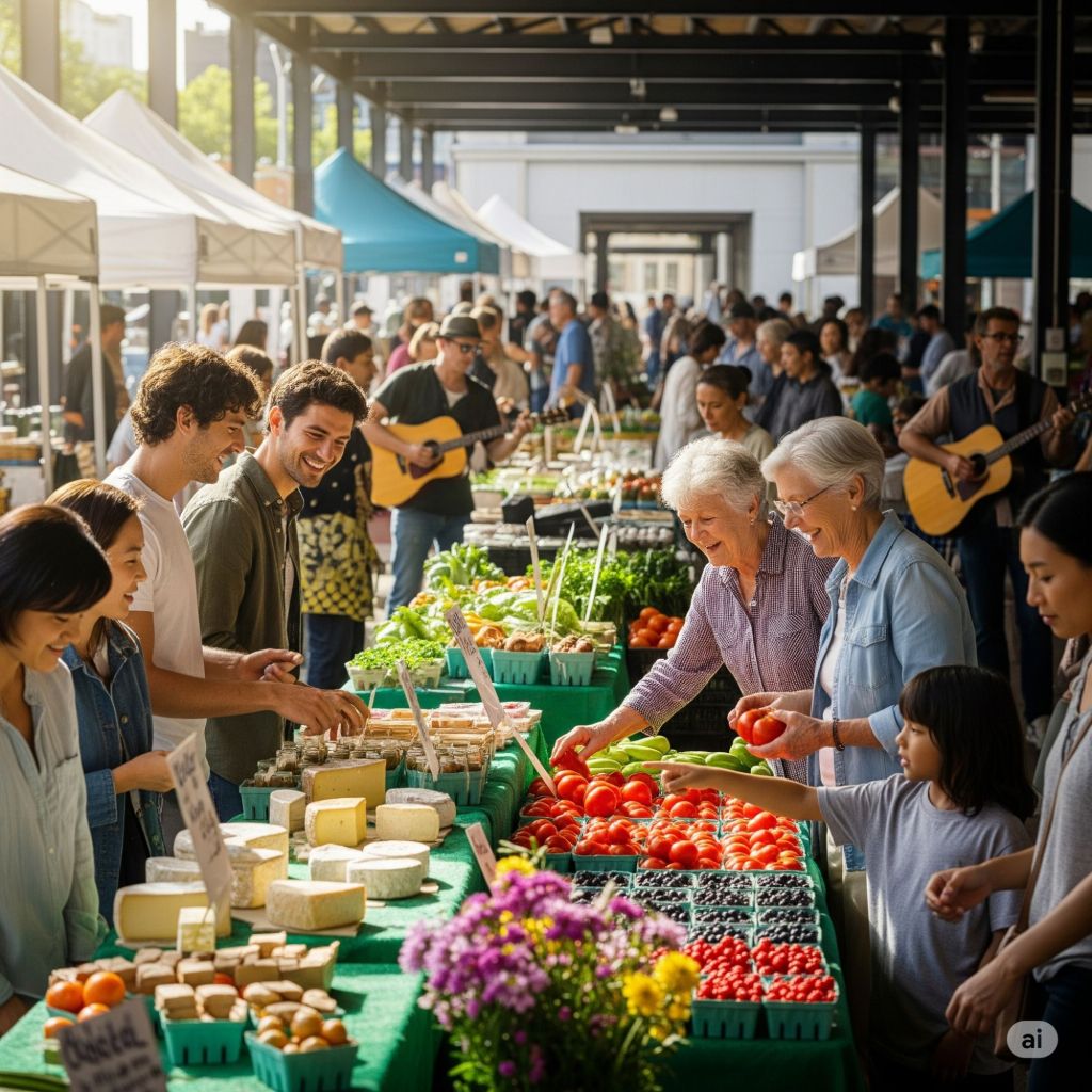
While an exact, single number for all of Canada is not readily available, data from the BC Association of Farmers’ Markets (BCAFM) indicates a robust and growing market scene in British Columbia. As of recent studies, there are over 145 farmers’ markets across British Columbia.
Effect on Farmgate Price
Farmers’ markets have a significant and positive effect on the “farmgate price,” which is the price a farmer receives for their product at the farm gate, before any processing or distribution costs. Here’s how:
* Direct-to-Consumer Sales: By selling directly to consumers, farmers eliminate the need for intermediaries such as wholesalers, distributors, and grocery retailers. This allows them to capture a much larger portion of the final retail price, often receiving 100% of the price paid by the customer.
* Pricing Flexibility: Unlike a large grocery chain with standardized pricing, farmers at a market have the flexibility to set their own prices based on a variety of factors, including the quality of their product, the cost of production (e.g., whether it’s organic), and the local demand.
* Economic Impact: A 2023 study by the BCAFM found that member markets in British Columbia generated $155.3 million in direct sales. This revenue goes straight to local farmers and food producers, contributing to a substantial economic impact on the local community. Farmers who sell directly are also more likely to patronize other local businesses, creating a positive multiplier effect.
Disposition of Food
Farmers’ markets change the “disposition” of food by influencing its distribution and what happens to unsold products.
* Alternative Distribution Channel: Farmers’ markets provide a vital alternative to the conventional food supply chain. This is particularly beneficial for small-scale farmers who may find it difficult to meet the high volume and standardization requirements of large retailers. Markets also foster a direct relationship between producers and consumers.
* Community-Based Programs: Many farmers’ markets, such as the ones in Vancouver, have “Donation Station” programs. At the end of a market day, farmers and vendors can donate any unsold fresh produce, which is then distributed to local food banks, community food pantries, schools, and other programs that support low-income and food-insecure individuals.
* Reduced Food Waste: Farmers have more control over their inventory and can bring only what they believe they can sell. While some food may still go unsold, the direct sales model and donation programs help to minimize waste compared to the large-scale distribution system, where a single rejected shipment can result in a massive loss. Unsold produce can also be used for animal feed or composted.


Rain warning, CBC…

No Alerts Merritt BC

As of 9:20 or 9:17, more precisely there are no extreme alerts for Merritt British Columbia according to Environment Canada.. check your locations

Weather is good…

Conjunction

I’mTo photograph Jupiter and Saturn, you’ll need to work with a few key camera settings and pieces of equipment. Here’s a breakdown of what you can do to capture them, especially in the early morning.
A great opportunity for this kind of photography is happening on August 12, as Jupiter and Venus will be in a close alignment, known as a conjunction. They will appear as a single bright “double star” in the eastern sky just before sunrise. While Jupiter and Venus are the main event, Saturn will also be visible, though farther away.
Here are some general tips and settings to get you started:
* Equipment: A camera with manual controls (like a DSLR or mirrorless camera) and a sturdy tripod are essential. A telephoto lens (300-400mm or more) is highly recommended to get a decent size image of the planets.
* Camera Settings: Since the planets are very bright, you’ll need to use shorter exposure times.
* Shutter Speed: Start with a fast shutter speed, such as 1 second or less, to prevent the planets from turning into streaks due to Earth’s rotation. If you have a telescope with a clock drive (which tracks the movement of the stars), you can use longer exposures.
* Aperture: Try an aperture of around f/8.
* ISO: Use a moderate ISO setting, such as 3200, as a starting point. You can experiment with different ISOs to find the best balance between brightness and image noise.
* Focusing: Autofocus is not reliable for astrophotography. Turn it off and manually set your focus to infinity. Use your camera’s live view mode and zoom in on the planet to fine-tune the focus until it appears as small and sharp as possible.
* Technique: Use a 2-second timer or a remote shutter release to avoid shaking the camera when you press the button.
For a different approach, if you have a telescope, you can take a series of many short exposures, a technique known as “lucky imaging.” This involves using specialized software to stack the sharpest images and create a final, more detailed photo.

August 23rd dark sky…

Tourist info

There is a very good place to get the mileage to destinations when stopping in Merritt. The downtown tourist info Center 2202 Voght st is a convenience to employ.

A signpost with distances to several locations, including some in British Columbia and one in Alberta, Canada, as well as Bellingham in the United States. It looks like a fun and creative landmark, possibly in a park or a private yard.
The signpost indicates the following distances:
* West:
   * Spences Bridge: 65 km
   * Tofino: 550 km
   * Victoria: 350 km
   * Whistler: 330 km
   * Vancouver: 270 km
   * Haida Gwaii: 1500 km
* East:
   * Hope: 120 km
   * Calgary, Alta: 700 km
   * Cranbrook: 650 km
   * Trail: 435 km
   * Osoyoos: 200 km
   * Kelowna: 130 km
   * Princeton: 90 km
* South:
   * Bellingham, USA: 240 km
Based on the sign’s locations and distances, the signpost is likely located somewhere near Merritt, British Columbia, as this would be a plausible central point for these destinations.

The kilometers to destination are rounded off to 10 s making them less provoking to remember. EG Merritt to Calgary 700 KM from 704.

Baillie house public garden in Merritt BC

The cool shade of lawn and trees await stoppers at the downtown tourist information center also known as the Bailey house in Merritt, BC.

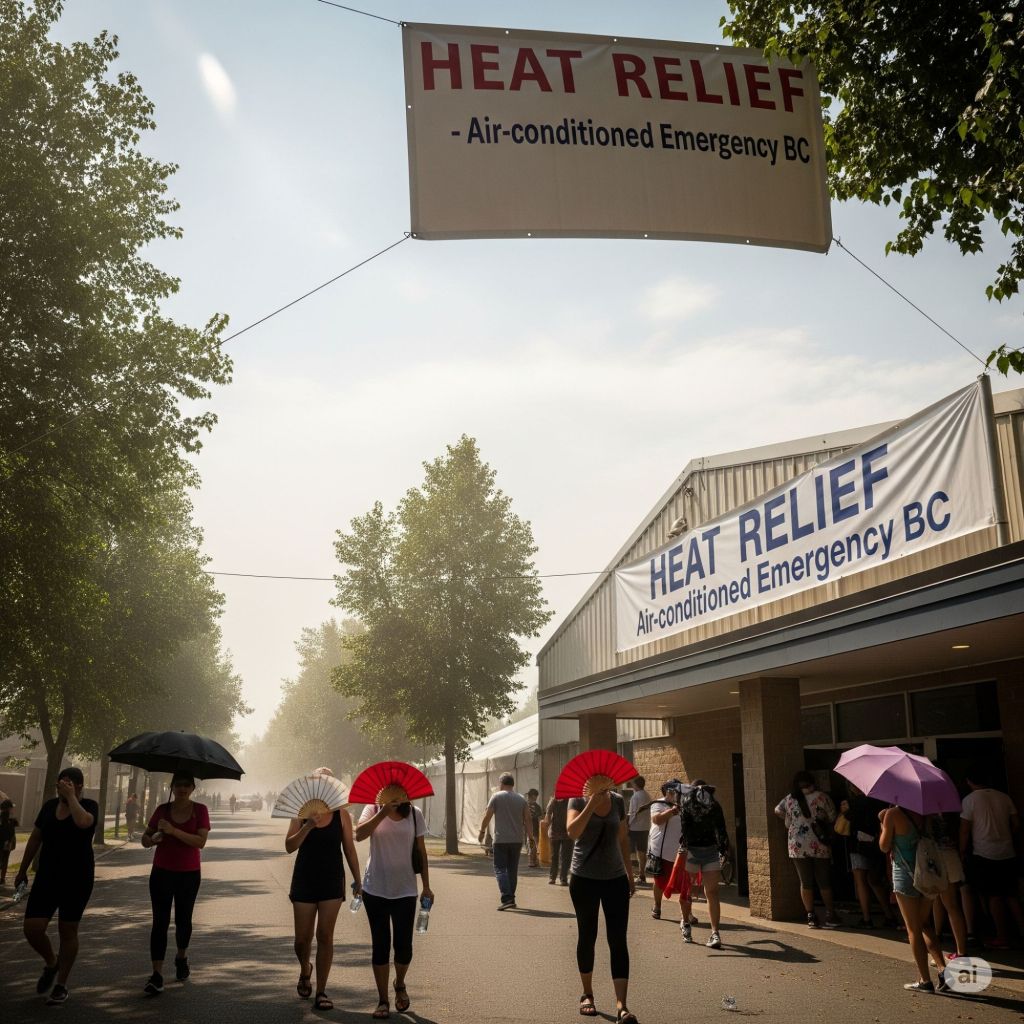
British Columbia is experiencing some heat warnings, for some good advice  from emergency BC, I’ll put the link. Just below on the site.

AI generated photo, conception..

Sunday solice

Photo KDG
Rachmaninoff  prelude number 3, G minor Op 23

Greg Capozzi plays a masters prelude at Innovation Studios, August 2016.

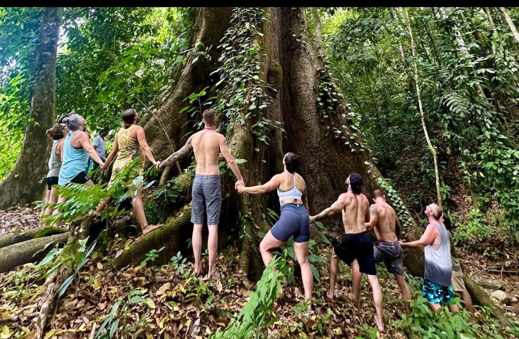
TGIF- tree culture…

Over time trees have been…🌳🍁🌳

Based on the search results, I can now answer all parts of the user’s query.
Modern Tree Culture
Modern tree culture, or the modern view of trees, is multifaceted. Trees are valued for their ecological benefits, such as sequestering CO2, enriching soil, and creating habitats. They are also integral to modern landscape design, where their aesthetic qualities and ability to define spaces are utilized. On a deeper level, trees continue to be powerful cultural symbols in art, literature, and environmental movements, representing growth, resilience, and the interconnectedness of life. They are also seen as vital for human well-being, providing sanctuaries for mental health and a connection to nature.
Distinction from Celtic and Druidic Tree Culture
The distinction between modern and ancient Celtic/Druidic tree culture lies primarily in the spiritual and religious significance of trees.
* Celtic/Druidic Culture: Trees were considered sacred, sentient beings and were central to spiritual practices. Certain trees like the oak, ash, and hazel were revered as embodying wisdom, life, and a connection to ancestors. The word “Druid” itself may be derived from the Celtic word for oak, “deru.” Sacred groves were places of worship, and specific trees were believed to have magical or divine properties, used for divination, healing, and protection from evil spirits. Felling a sacred tree was a serious offense, sometimes a symbol of a rival clan’s demoralization.
* Modern Culture: While trees are still seen as symbolic and spiritually significant to some, this view is not a dominant part of mainstream society. The modern appreciation for trees is more rooted in science, ecology, and aesthetics. The focus is on their role in mitigating climate change, improving air quality, and supporting urban life, rather than their use in specific religious rites or as literal dwellings for spirits.
The Good, the Bad, and the Evil
The search results interpreted the user’s query about “deep tree culture” in a more literal and horticultural sense, but also provided information that can be applied to the symbolic and cultural aspects.
Good:
* Environmental: Trees are crucial for creating habitats, enriching soil, and managing water. They sequester carbon, reduce urban heat, and lower energy consumption.
* Aesthetic & Personal: Trees define outdoor spaces and are a source of beauty and inspiration in art. They are shown to improve emotional health and provide a calming experience.
* Symbolic: The “Tree of Life” motif, found in many cultures, represents a unifying idea of creativity and the interconnectedness of all life. Trees symbolize personal growth, resilience, and stability.
Bad:
* Horticultural: The “bad” aspects are largely practical. Planting trees too deep can kill them by smothering roots. Improper planting and soil compaction can stunt growth and make trees susceptible to disease and wind damage.
* Urban & Public Health: Urban trees can have negative effects, such as emitting volatile organic compounds (VOCs) that contribute to smog during heat waves, or their roots can damage pipes and foundations. Some trees can also be a source of allergens.
Evil:
The concept of “evil” in “deep tree culture” is not addressed in a literal sense by the search results. However, from the historical Celtic context, the practice of a rival clan destroying an enemy’s sacred tree was a demoralizing act of spiritual violence. In this sense, an act of destroying something deeply sacred to a culture or people could be seen as an act of evil within their belief system.

Merit has Merritt…

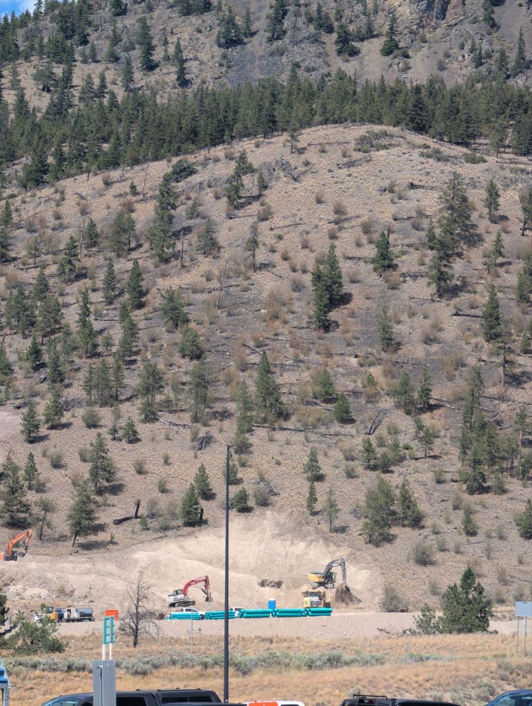
Work going on the high ground

Construction by the  North exit of Merritt BC Canada

Can we control our selfs

Merritt, British Columbia, is currently experiencing a good deal of construction and development, particularly in the wake of the 2021 atmospheric river event and ongoing efforts to enhance the community’s infrastructure and housing.
Here’s a breakdown of what’s happening:
Current Construction Projects:
* Highway Flood Recovery Projects (Highway 8): Significant work is underway on permanent repairs to damaged sections of Highway 8 between Spences Bridge and Merritt. This includes bridge repairs, road reconstruction, and environmental enhancements to make the highway more resilient to extreme weather. Several sites along Highway 8 are actively under construction, with some sections still having gravel surfaces and reduced speed zones.
* Trans Mountain Expansion Project: Cleanup and reclamation efforts related to the Trans Mountain pipeline expansion continue between Merritt and Coquihalla Summit, as well as between Kamloops and Merritt. Crews are working intermittently on right-of-way and access road cleanup, reseeding, replanting, and land reclamation.
* Gateway 286 Development: This is a major redevelopment project at the former Visitor Information Centre site at Exit 286 (where the Coquihalla Highway meets Highway 97C). This commercial hub is expected to include restaurants, convenience stores, a gas station, a dog park, and what is planned to be Western Canada’s largest electric vehicle charging station. This project is a partnership with the five Nicola Valley First Nations and aims to provide economic opportunities and a vital transportation hub. Construction was expected to begin in Summer 2024.
* Affordable Housing Developments:
   * A 52-unit affordable rental housing development for First Nations families, elders, and youth is currently under construction at 2640 Spring Bank Avenue. This four-storey building is expected to be completed by Spring 2025 and will include studio, one-, two-, and three-bedroom units, with many being accessible or adaptable.
   * Construction is also starting on a new family housing complex at the Nicola Valley Institute of Technology (NVIT) Merritt campus. This project will include 12 townhouses for primarily Indigenous families, with a mix of two- and three-bedroom units, and an expanded childcare facility with 36 spaces. This is expected to open by Fall 2027.
* West Merritt Active Transportation Path: A 2.7 km multi-use path/active transportation corridor in West Merritt has been under construction and was expected to be completed in Spring 2023.
* Collettville Lindley Creek Road Development: A multi-phased residential and industrial development is underway on Lindley Creek Road in Collettville. The conceptual plan included 98 townhomes, 95 mobile homes, and up to 180 condominium units, along with a significant park dedication. The residential portion is expected to provide quicker and more attainable housing, and the industrial development aims to attract new businesses and jobs.
* Kasa Industrial Park: A 10-acre site at 3888 Voght Street is being developed into a distribution warehouse and precast concrete manufacturing facility, with a project value exceeding $15 million.
* Bell Canada National AI Data Centre: Merritt has been selected as the site for a new Bell Canada National AI Data Centre, with updates as of June 2025.
* Universal Water Meter Program: The City of Merritt is launching a universal water meter program, supported by a $3 million grant.
Building Permits and Property Makeup (Industrial vs. Residential):
While specific numbers for current permits entered into by the City of Merritt and a precise breakdown of the current makeup of industrial and residential properties are not readily available in general public searches, here’s what we know about permits and the general landscape:
* Building Permits: Building permits are required for most new construction, alterations, additions, or demolitions in Merritt. This ensures projects comply with the BC Building Code and local regulations for safety and integrity. The City of Merritt has a Development Services department that processes building, demolition, plumbing, and sign permits. You would generally need to contact the City directly for detailed statistics on the number of permits issued and their classification (e.g., residential vs. industrial).
* Development Permits: For multiple-unit residential, commercial, or industrial developments, a Development Permit (DP) is often required in addition to a building permit. These are processed by the Planning staff and are necessary if the land is within a designated Development Permit Area.
* Industrial and Residential Mix: Merritt is seeing growth in both residential and industrial sectors. The affordable housing projects and the Collettville development indicate an expansion of residential options, while the Kasa Industrial Park and the industrial component of the Collettville development point to continued industrial growth. The Gateway 286 project is primarily a highway commercial center, which falls under commercial development but serves as a hub for both residents and travelers. The city’s focus on attracting new business and industry through projects like the Collettville industrial development suggests an effort to expand its industrial tax base.
To get the most precise and up-to-date figures on building permits and the current ratio of industrial to residential properties, it would be best to contact the City of Merritt’s Development Services or Planning department directly. They would have the official records and statistics.

A piece of art from a recent art showing in Merritt offered poetic advice.

You can sometimes get a low down across the counter at the Nicola Valley Community Arts Council’s art gallery on the corner of Nicola and Voght.

Weather,two days 35 degrees, Merritt BC.

Summer haze

Jeffery Sacks

“If we normalize craziness there’s no way out.”

Great Summer

The weather  is  forecast for the next  number of days to be moderate with rain .

Stay   bright stay right

National Adaption Strategy

Version Two starship…

The second version of the Mars flying starship has been moved to Texas.

Mars readying

One heavy lifter and away they go…
Photo KDG, Strawberry Moon Merritt BC.

The interest in all things lunar continues as mankind’s March to knowledge grows exponentially everyday.

Flash Flood,2021, just going behind us…

Recent Texas flooding brings memory to the forefront.

It’s been a while on Flood and COVID , and mill closure and we are still here.

Flash floods are among the deadliest natural hazards worldwide, responsible for a significant number of deaths and substantial economic losses. Their sudden onset leaves very little time for warnings, making them particularly dangerous. Climate change, rapid urbanization, and land-use changes are contributing to an increase in their frequency and intensity.
Here’s a breakdown of flash flood statistics:
Global Statistics (relevant to developing world)
* Fatalities: Flash floods cause over 5,000 deaths annually worldwide and account for 85% of all flood-related fatalities.
* Economic Losses: They result in economic losses exceeding $50 billion annually.
* Mortality Rate: Flash floods have the highest mortality rate among different classes of flooding (e.g., riverine, coastal).
* Developing World Impact: In tropical countries, as high as 90% of deaths from flash floods are due to drowning from rapidly rising waters. Developing countries often have limited infrastructure and early warning systems, making their populations more vulnerable.
* Examples:
   * In 2022, flash floods in Pakistan killed over 1,700 people and displaced millions.
   * When Hurricane Mitch struck Central America in 1998, it caused over 11,000 casualties and destroyed hundreds of thousands of homes due to flash floods, floods, landslides, and mudslides.
   * From 1990 to 2022, floods recorded in 168 countries affected over 3.2 billion people, caused 218,353 deaths, and resulted in over $1.3 trillion in economic losses.
     * China was the most affected country in terms of population (1.9 billion) and economic damage ($442 billion), and the second largest in deaths (30,890).
     * India had the second largest population affected (629 million) and the largest number of deaths (46,506).
United States
* Fatalities: Flooding has caused an average of more than 125 deaths per year in the United States over the past few decades, with flash floods being the nation’s top storm-related killer.
* Recent Events:
   * In July 2025, devastating flash floods across the Hill Country in central Texas left a staggering trail of destruction and claimed at least 120 lives (as of July 9, 2025), with many more unaccounted for.
   * Hurricane Helene (September 2024) caused about 250 deaths, many due to massive inland flooding.
   * Eastern Kentucky floods in 2022 led to 45 deaths.
   * Hurricane Harvey (2017) caused over 300,000 structures to be damaged and an estimated $125 billion in damage, with nearly all deaths attributed to freshwater flooding.
* Overall Disasters (1980-2024): The U.S. has experienced 403 billion-dollar weather and climate disasters, claiming nearly 17,000 lives and resulting in more than $2.9 trillion in direct costs. The frequency and cost of these disasters have increased dramatically.
   * The average number of billion-dollar disasters per year has grown from about three in the 1980s to 19 in the last 10 years.
   * 2023 and 2024 shattered previous records with 28 and 27 billion-dollar disasters, respectively.
* Circumstance of Fatalities: 63% of flood-related fatalities are associated with vehicles.
Canada
* Costliest Natural Disaster: Flooding is the costliest natural disaster for Canadians.
* Frequency: Floods occur five times as often as wildfires in Canada. Between 1900 and 2005, there were 241 flood disasters. Statistics show the number of floods has almost tripled from the 1960s to the 1970s and continues to rise.
* Recent Events:
   * In July 2024, torrential rain and flash floods in Toronto and southern Ontario caused over $940 million in insured damage.
   * The 2024 year is already the costliest in terms of catastrophic weather-related insurance payouts, surpassing the 2016 Fort McMurray wildfire, with one life lost during the four largest weather catastrophes (wildfires, hail, floods) in the summer of 2024.
   * The 2013 Alberta floods are considered the costliest natural disaster in Canada’s history.
* Historical Fatalities:
   * Hurricane Hazel in October 1954 caused flooding in Toronto, resulting in more than 80 deaths and severe damage.
   * The 2021 British Columbia floods, a once-in-500-year event, swallowed highways, washed away bridges, cut off railroads, and led to at least four deaths.
   * In 1950, the Winnipeg flood affected one-sixth of the city, evacuating over 100,000 people and costing about $126 million (adjusted for 2020), damaging 10,500 homes.
These statistics highlight the escalating threat of flash floods globally and regionally, emphasizing the urgent need for improved early warning systems, resilient infrastructure, and adaptation strategies in the face of a changing climate.

Skies are friends and foe.

May the recent flash flood in Texas be seen as a going forward opportunity rather than catastrophic loss doing no one some good.