
Metro Vancouver in the Sunshine Coast up to 150 mm.
Heavy rain snow winds by Wednesday..
No Alerts Merritt Victoria

To the seasons of life

Metro Vancouver in the Sunshine Coast up to 150 mm.
No Alerts Merritt Victoria
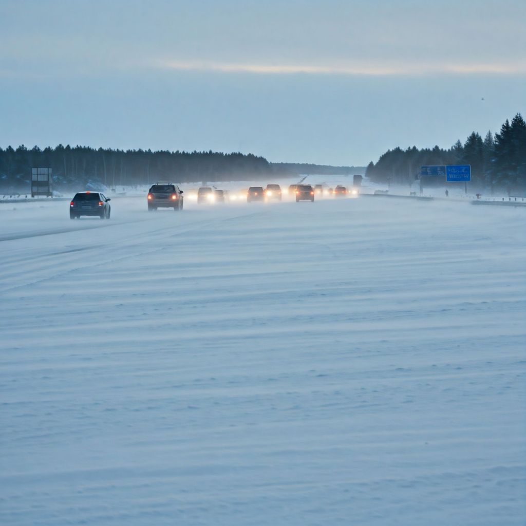
Up to 60 cm by Thursday
Information about Yellow warning – winter storm

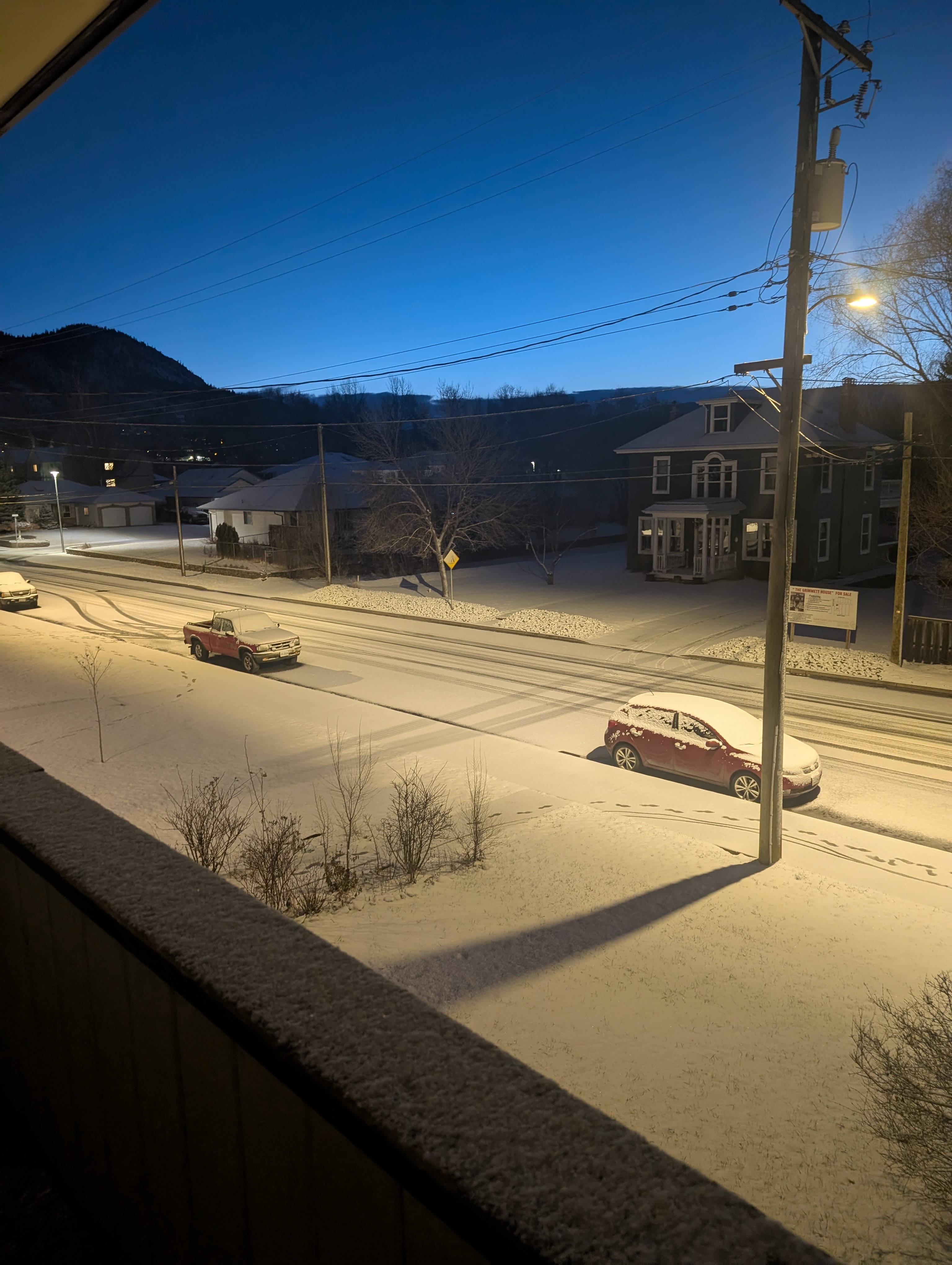
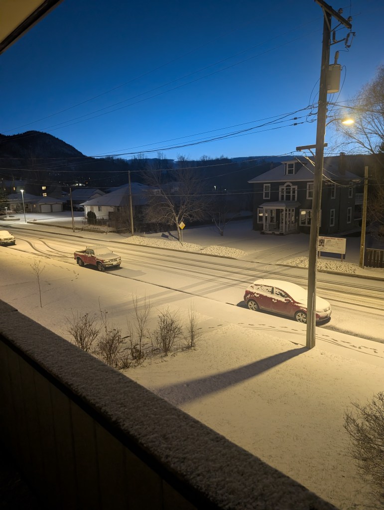
Monday, March 9 2026 Garcia Street Merritt, BC 6:45 a.m..
Up to 20 cm, today Merritt BC.

Ad hoc post, dilligence required.
” a system you’re going to want to watch out for”
Some weather coming, always be prepared for anything. Verify with authorities on your trips. Take out an account and drive BC
Merritt
There is a Yellow warning for snow tonight,tomorrow December 23rd expect travel challenges.

concept photo
Stay safe
Melt
* Melt (Freshet): The spring melt, or “freshet,” is the critical period. It typically begins in late April or early May at lower elevations and continues into June at higher elevations. The timing and speed of this melt are the most important factors in determining whether the region will face drought or flood.
Water Reserves and Freshet
The snowpack serves as a natural reservoir, holding a significant portion of the region’s water supply for the spring and summer.
* Slower, Steady Melt: This is the ideal scenario. When temperatures rise gradually and steadily, the snowpack melts at a manageable rate, slowly replenishing rivers, lakes, and groundwater. This process ensures a consistent water supply for agriculture, municipal use, and maintaining healthy ecosystems throughout the drier summer months.
This is a recipe for trouble. A sudden and prolonged period of hot weather, especially following a large snowpack, can cause the snow to melt too quickly. This rapid influx of water can overwhelm river systems, leading to high stream flows and a significant risk of flooding.
The relationship between snowpack and water management is a delicate balance.
* Risk of Flooding: A deep or above-normal snowpack (e.g., above 120% of normal) significantly increases the risk of flooding, particularly if a period of prolonged hot weather or heavy rainfall occurs during the freshet. This is when the rivers, like the Thompson, can exceed their banks. The B.C. River Forecast Centre issues a series of advisories—High Streamflow Advisory, Flood Watch, and Flood Warning—to communicate the escalating risk.
A low or below-normal snowpack (e.g., below 80% of normal) is a major concern for summer drought conditions. If the winter was dry and the snowpack is thin, there simply isn’t enough stored water to last through the hot summer. The early melt that often accompanies a low snowpack means that water reserves are depleted much sooner, leaving the region susceptible to water shortages, low river levels, and an elevated risk of wildfires.
Modern Challenges
Climate change is making the snowpack cycle more volatile and unpredictable. The Thompson-Nicola region has seen both record-low and near-normal snowpacks in recent years, each with its own set of challenges. Increasingly, “not a typical freshet” has become the norm, with warmer springs causing early snowmelt and leaving less water for the later summer. This is why the BC River Forecast Centre’s regular bulletins are so critical for residents, local governments, and industries like agriculture that rely on a predictable water supply. The data from automated snow weather stations and manual surveys provides the information needed to prepare for either potential flooding or the very real possibility of a severe summer drought.

The Thompson-Nicola region of British Columbia’s South Central Interior is a fascinating case study in the relationship between snowpack, water reserves, and the potential for both drought and flooding. The entire system is driven by a seasonal cycle that, while predictable in its general pattern, is highly susceptible to year-to-year and even week-to-week weather variations.
* Accumulation (Winter): Snowpack begins to accumulate in the mountains of the Thompson-Nicola region with the onset of winter. This period, from roughly November to April, is when the majority of the annual snowpack builds up. By early January, about half of the total annual snowpack has typically accumulated. The amount of snow in any given year is highly variable, and this is the first and most crucial factor in determining the water situation for the rest of the year.
* Peak (Late Spring): The snowpack generally reaches its maximum level around mid-April. At this point, the snow water equivalent (SWE) is measured by the BC River Forecast Centre to gauge the total amount of water stored in the snow. A “normal” snowpack is considered to be between 90% and 110% of the historical average.
Recovery advise is available from many sources good luck…
Concept photo
Stay in touch… I’ll
The earliest time in nearly 30 years.
Extreme cold temperatures, such as minus 50° Celsius, are typically recorded in high-latitude regions, particularly in Antarctica and parts of Siberia, Russia. These conditions can occur during the winter months, with some areas experiencing such frigid temperatures regularly, particularly in January and February, when the Arctic air masses are most prevalent. Locations like the Siberian town of Oymyakon and Antarctica’s Vostok Station are known for reaching these extreme lows, occasionally seeing temperatures dip to or below minus 50°.


The full moon of December, December 4th 2025. The Moon is known as a cold moon.
There’s a yellow warning about where the higher levels coquihalla highway. That’s a snow warning could be 40 to 50 cm of snow.
https://weather.gc.ca/en/location/index.html?coords=50.111,-120.790
We do we do this posting ad hoc , we would very much appreciate your comments on driving experiences.
Please rely on official sources before driving…
Atlantic Meridonacal overturning current.
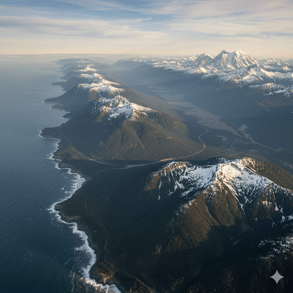
Concept photo generated to demonstrate the fine balance of altitude sea levels. Sea temperatures.
The “overturning current” you’re referring to is the Atlantic Meridional Overturning Circulation (AMOC), often described as the Atlantic’s “great conveyor belt.” This massive system of currents plays a critical role in global climate by transporting warm, salty water from the tropics north toward the Arctic. In the high latitudes of the North Atlantic, this surface water cools and loses heat to the atmosphere—which helps keep Western Europe significantly warmer than other regions at similar latitudes. As the water cools, its salinity and density increase, causing it to sink to the deep ocean floor. This cold, dense water then flows southward in a deep return current, completing the overturning loop. This circulation is essential not only for regional weather but also for redistributing heat, dissolved oxygen, and carbon throughout the ocean basins, impacting marine ecosystems and the ocean’s function as a vital carbon sink.However, recent studies indicate that the AMOC is weakening, and scientists are concerned that continued global warming could push it past a critical
The primary factor driving this slowdown is the influx of freshwater into the North Atlantic, primarily from melting ice sheets in Greenland. This freshwater is less dense than the salty ocean water and inhibits the cooling surface water from sinking, thereby disrupting the engine of the overturning circulation. If the AMOC were to substantially slow or, in a worst-case scenario, collapse, the consequences would be severe: Northern Europe could face much harsher winters, global rainfall patterns could shift drastically (affecting tropical monsoon regions), and sea levels could rise along the U.S. East Coast. While the exact trajectory and timing of a potential collapse are subject to scientific debate, the potential risks have led some governments, like Iceland’s

All these icons above are inspiration that different minds have when they start thinking about snow tires.
Don’t think do, depending on your area of course, but it’s better to be safe than 😐

Hey Merit what do you say?

![]()


