You are presumed to be honest and responsible without evidence to the contrary beyond a reasonable doubt… on the balance of probablilties you are justified by 51 % likelyhood.
One of the rationales for the trade treaties of the 1990s was “If ownership of power poles was located in a foreign country, then that country was less likely to bomb your country” and “peace through interdependence”.
Are we on the wrong track now? Are we dismantling something that somebody put a lot of thought into.
Even the ownership of Starbucks had a meaning to many people across lines.
Flash flooding in British Columbia is driven primarily by intense meteorological conditions combined with steep, mountainous terrain. Because much of B.C.’s topography consists of deep valleys and narrow drainage basins, intense rainfall cannot be absorbed quickly enough, forcing massive volumes of water, mud, and debris down slopes in minutes.Flash Flooding Dynamics in B.C.
* Atmospheric Rivers & Rain-on-Snow Events:
In late autumn and winter, strong “atmospheric rivers” (narrow plumes of dense moisture from the tropics) dump immense rainfall over low elevations while warm winds rapidly melt mountain snowpacks. This rapid runoff overwhelms natural channels and culverts. * The Freshet Season: In late spring (May through June), sudden heatwaves accelerate high-elevation snowmelt. When paired with sudden summer thunderstorms, rivers can overtop their banks or flash flood localized gullies within hours.
* Post-Wildfire Debris Flows:
Scorched soil left behind after forest fires loses its ability to absorb water (becoming hydrophobic). A sudden localized cloudburst over a burnt mountain slope frequently triggers violent flash floods mixed with mud and logs, blocking highways and washing out bridges.National Fatality Statistics & High-Risk AreasHistorically, flood-related fatalities across Canada are low compared to other natural hazards due to early warning networks and widespread evacuations. * Fatality Statistics: Over the past century, direct deaths caused specifically by flash flooding and inland water surges across Canada total roughly 150 to 200 people. Most individual flash flood events result in low single-digit fatalities (typically 1 to 5 deaths per event), almost always caused by vehicles being swept off inundated roads or washouts collapsing beneath motorists. * Most Prone Regions: * Southern B.C. Coastal & Mountain Passes: Steep canyon corridors (such as the Fraser Canyon, Coquihalla, and Sea-to-Sky corridor) are highly vulnerable to localized, rapid debris flows and mountain river surges. * Southern Ontario River Valleys: Built-up urban areas around steep river valleys (such as the Humber, Don, and Grand Rivers) experience severe flash flooding when intense summer storms or tropical remnants hit saturated soil. * Southern Alberta Foothills: Fast-flowing mountain rivers (like the Bow and Elbow Rivers) coming out of the Rockies are prone to sudden, severe surge flooding during heavy late-spring rains.
The Largest & Deadliest Flash Flood in Canadian History
The single largest and deadliest flash flood event recorded in Canada was caused by Hurricane Hazel on October 15–16, 1954. * Location: Southern Ontario (primarily Toronto and surrounding river valleys). * Death Toll: 81 people died. Over half of the victims (35 people) were killed on a single street—Raymore Drive in Weston—when the Humber River suddenly rose over 6 meters and washed away entire blocks of homes. * Estimated Size & Volume: * Prior to the storm, the ground was already saturated from weeks of rain. Hazel dropped over 200 mm (nearly 8 inches) of rain in less than 24 hours, with up to 110 mm falling in just a 12-hour window. * Over 90% of that rain ran off directly into local rivers, causing water levels in the Humber River and Etobicoke Creek to rise by as much as 6 to 8 meters (20 to 26 feet) in a matter of hours. * The total economic damage was estimated at over $137 million in 1954 CAD (equivalent to roughly $1.6 billion today) and left more than 4,000 families homeless.The sheer scale of destruction from Hurricane Hazel completely revolutionized floodplain management in Canada, leading directly to the creation of strict conservation authority limits that prohibit residential construction within natural floodplains.
One takeaway from this discourse should be and will be an awareness to watch side hills after even moderate rains when you’re driving on some of the particularly close road works as opposed to freeways. However, the unexpected is just that something that you can overcome if you expect to?.
The Lower Mainland in British Columbia is a broad geographic and cultural region that typically includes the Metro Vancouver Regional District and the Fraser Valley Regional District, extending from Vancouver in the west to Hope in the east, and from the U.S. border to the south, up to Whistler and the Sunshine Coast in the north. Here are many of the cities and municipalities you’ll find within this region: Metro Vancouver Regional District: * Vancouver * Burnaby * Richmond * Surrey * Coquitlam * Delta * Langley (City and Township) * Maple Ridge * New Westminster * North Vancouver (City and District) * Pitt Meadows * Port Coquitlam * Port Moody * West Vancouver * White Rock * Anmore (village) * Belcarra (village) * Bowen Island (island municipality) * Lions Bay (village) Fraser Valley Regional District (often considered part of the broader Lower Mainland): * Abbotsford * Chilliwack * Mission * Hope * Kent (includes Agassiz) It’s worth noting that the exact definition of “Lower Mainland” can sometimes vary, but these are generally the key urban centers and municipalities within that area.
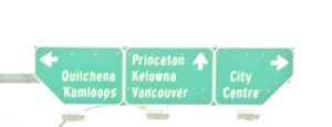
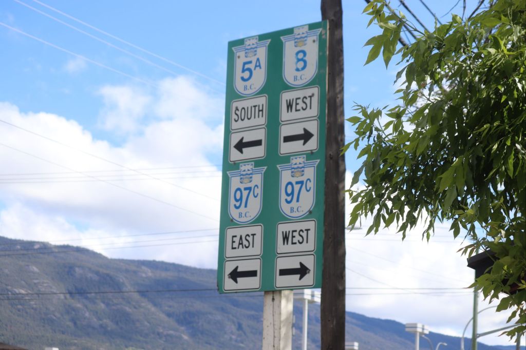
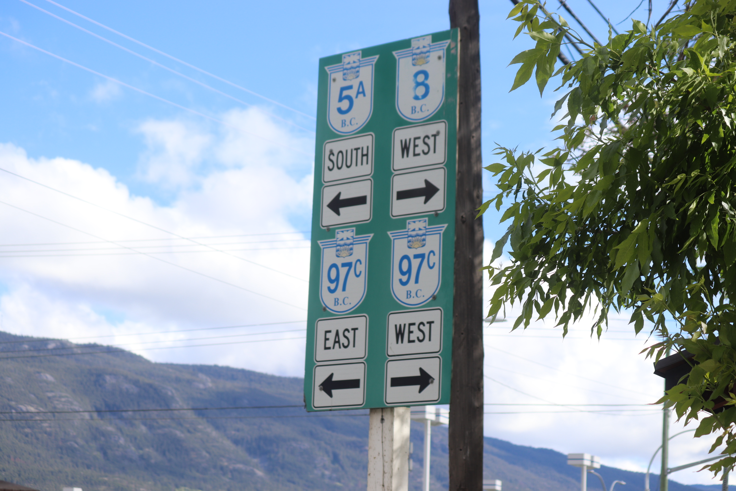
Highway access
Lower Mainland
Well a view of last fall in Merritt BC, In and around the art councils Gallery there. How are you for coming into the fall now, do you have some goals. Maybe participating in a gallery showing in Merritt BC in the South Central interior may have something to offer you. Go by the gallery and commit yourself for your fall coming up. Or a wonderful array of similar and related organizations just down the road
and the Lower Mainland, showcasing the primary transit corridors, cities, and critical highway junctions spanning southwestern British Columbia.[Rich media excluded from paste]## Major Corridor Reference## Highway
Connects to Central Burnaby and Brentwood.* Brunette Avenue (Exit 40): Splits traffic toward New Westminster and Coquitlam.* 200 Street (Exit 58): The major artery connecting North and South Langley.* ## Highway 99——————————[Bridgeport Road* Route* Richmond, BC](https://www.google.com/search?kgmid=/g/1v75rlq7)Direct access into central Richmond and YVR.——————————[Ladner Trunk Road* Route* Delta, BC](https://www.google.com/search?kgmid=/g/1tfg2shj)Main access hub for Delta and Ladner, situated just south of the George Massey Tunnel.If you are planning a trip through the region, tell me your starting point, your destination, or if you need to locate a specific bridge or tunnel crossing to avoid traffic.





 Kevin Griffiths
 percypaschal
